Field trip to Ilkley Moor
Ilkley Moor
On Friday we completed our first field trip with sensor manufacturers Dales Land Net, involving a short hike and then an off path march through the heather to perform maintenance on their network of soil sensors. This sensor array is piloting remote monitoring solutions by gathering field data on soil moisture and temperature on Ilkley Moor.
The data produced here can help local government and academic researchers to better understand the hydrology of peatland carbon sinks and how to successfully work with these landscapes in light of challenges posed by climate change and water management.
This 4 year pilot supports goals such as monitoring water levels, summer temperatures and coverage by plant species such as Sphagnum Moss to prevent fires and subsequent carbon release.
The visit offered a chance to explore how a collaboration could support IoT partners and their customers to view live sensor readings and to visualise historically significant data sets over 3d terrain. Using digital simulation allows other sources of data to be overlaid to present a picture of environmental change, covering events such as summer heatwaves where soil temperatures can rise above 40 degrees Celsius.
During this field trip we discussed with Wes Wilcox, Chief Commercial Officer at Dales Land Net, how to analyse and present over 4 years of collected field data from the Ilkley site.
We also learnt more about a national network of peatland restoration projects being led by organisations such as Moors for the Future and how IoT systems such as these provide data coverage in remote locations.
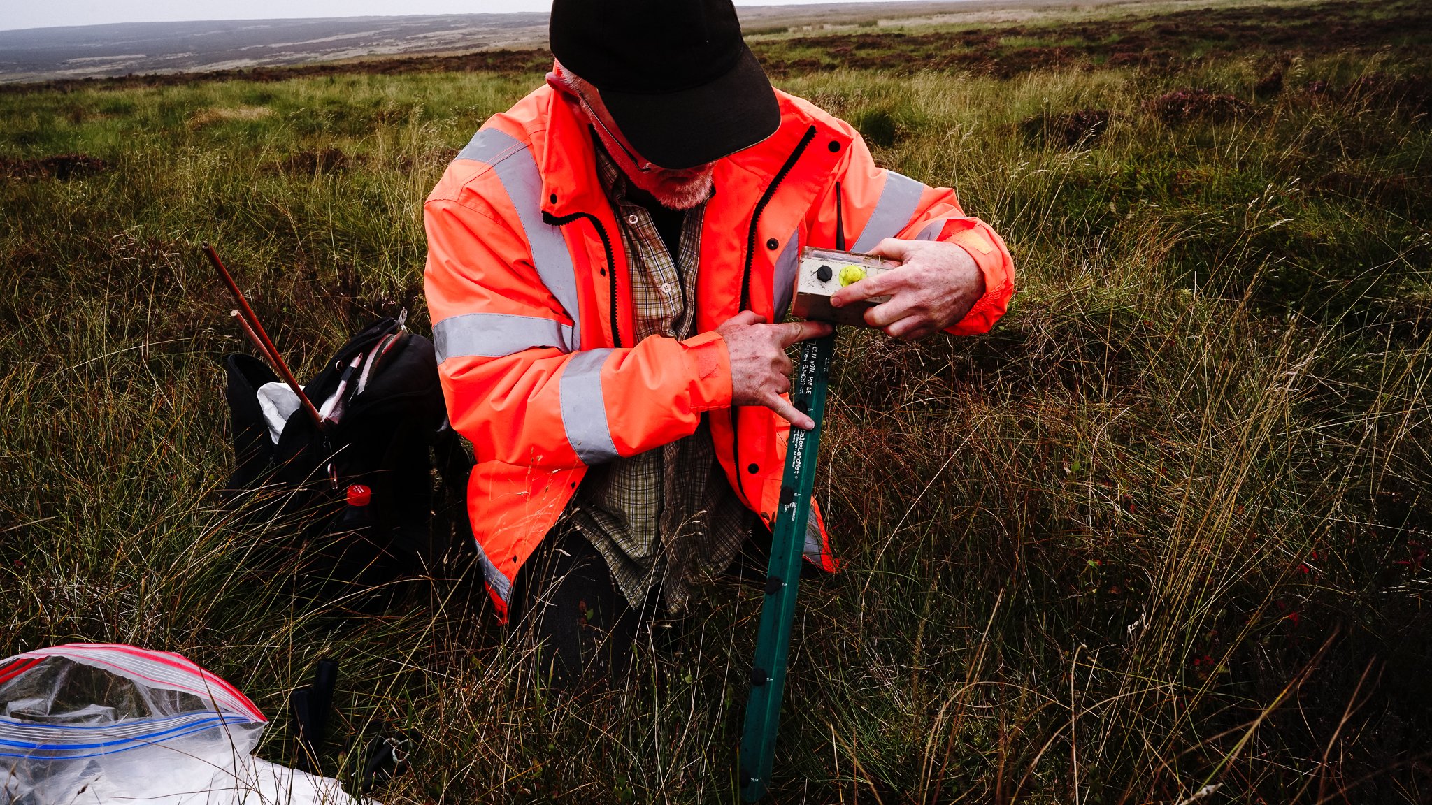
Wes from Dales Land Net seen here maintaining the gen 1 and 2 versions of Dales Land Net’s sensors.
These models operate on the Sigfox network, gathering data from 4 levels down to 50cm of soil depth. This provides data on the level of the water table and can be calibrated for use across a range of soil profiles.
On sites across the Peak District and Northumbria, Dales Land Net’s new model sensors sit in remote field locations for several years, relaying accurate data to researchers to provide long-term monitoring and alert systems. Recent models within their sensor network rely on the use of the Echostar satellite LoRa network to support the transmission of data from devices.
Interventions such as installing leaky dams across the moor can control the flow of water, providing protection against flooding in nearby towns and villages.
The field trip offered a chance to review shared goals and gain a better insight into the many technical solutions Dales Land Net have developed, solving coverage and other issues to widen the network and integrate it with other practices to manage ecosystems.
Solutions such as these are developing to maturity at a pivotal time, offering a method to augment our understanding of the natural world, with these technologies playing an increasingly crucial role to support field research, land management and governmental decision making.


